Makalidurga hill is situated 60 Kms North of Bangalore named after a village with the same name as Makalidurga. It is located at a height of almost 4400 ft. and famous for trekking among people from Bangalore. Makalidurga trekking information can be found in full details below:
Page Contents
How to reach Makalidurga trek?
If you are going by your own private vehicle just search for “Makali Durga, Makalidurga Trail, Karnataka 561203” on Google Maps. You will get e driving route from your place and you need to exactly park your vehicle at the last point on the map.
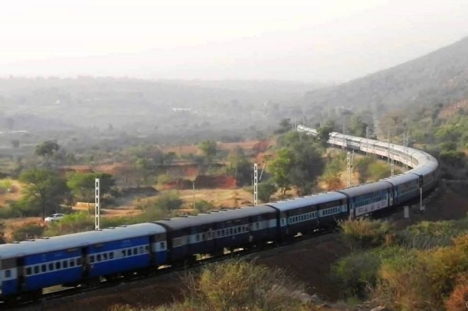
Below is the information on reaching Makalidurga from Bangalore by train:
Makalidurga By train:
Train name: Bangalore – Hindupur Passenger
From Bangalore to MakaliDurga:
Bangalore city junction: 17:45
Malleswaram: 17:49
Yashwantpur: 17:56
Makalidurga: 19:00
From Makalidurga to Bangalore
MakaliDurga: 07:30 AM
Yashwantpur: 08:40
Malleswaram: 08:46
Bangalore city Junction: 09:00
The Makalidurga trek starting point is 3 kms from the MakaliDurga railway station. Start walking towards north from the station (Or in the direction opposite to Bangalore side). Look out for 54/400 sign board. There would a railway crossing just before this sign board. Take a sharp left turn. Take the left turn and walk further towards the temple. The temple also has got a pool. Keep walking ahead. You will see two big rocks to your right and from there the trek begins.
Makalidurga trekking information:
Trekking difficulty level: Moderate
Trek distance: 4-5 km
Trek timings: 2 hours
Altitude: 1350 meters, 4428 feet
Once reached the trek base, you can use GPS to trek. Just search on Google maps for “Makalidurga Trail, Karnataka 561203“, you will see the whole trail. Choose the walking option on google map and using GPS, you can start trekking. You can also download the google map offline. Here are the steps on how to download google offline map and use it later.
Makalidurga hill top offers a nice view of the places around like the railway line, nearby villages and dense forests, water bodies, rocky terrains etc.
Did you like it?
Please Rate it below:

 (7 votes, average: 3.00 out of 5)
Is night trekking is allowed ? and safe ?
Is forest departmemt charged any fee ? I read somewhere that now they charged 450 per head ? Is it true od not ?
we are planning to go for night trek on 31st , it will be fine or not ?
Hi Ketan,
I have not been there recently.. I am not sure of it…
It’s a nice place and especially for a beginner this could be one of the best treks.
Check my travel tales on http://www.joyoustraveler.com 🙂