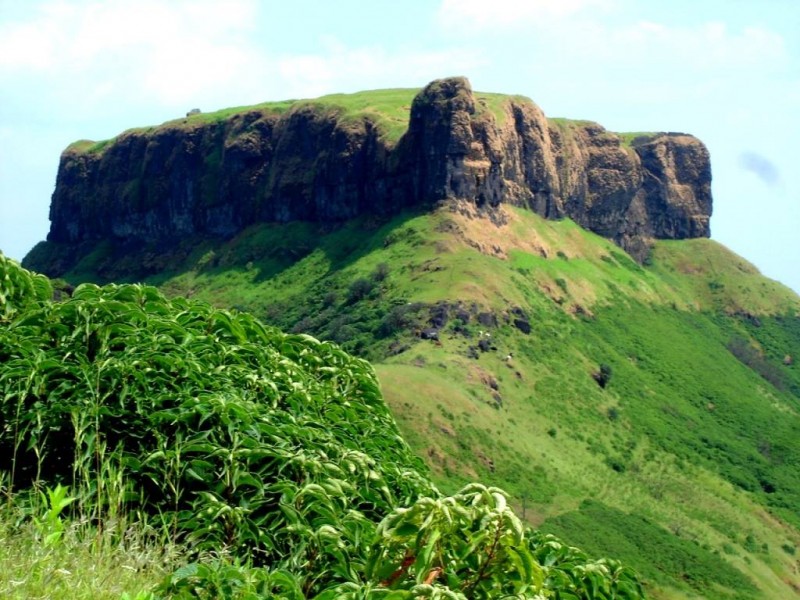
Kenjalgad fort trek is 90 Kms South of Pune and 240 Kms SE of Mumbai. Kenajlgad fort trek is on the edge of Koyna wildlife sanctuary near Mahabaleshwar. Kenjalgad fort trek information is given below in full details:
Page Contents
How to reach Kenjalgad fort trek?
Distance from Pune: 90 Kms
Distance from Mumbai: 20 Kms
Search for “Kenjalgad fort” on Google maps and Google maps will guide you to the last point of the Motorable road. From the last point, A trail is just adjacent which goes to the fort. In case, you are still not sure, you can ask the last village at the foothills of Kenjalgad fort about the trekking route and they will be able to guide.
Kenjalgad fort trekking information:
Base of the trek: Oholi (Last village Enroute)
Best time to trek: Winter (September to March)
Height: 4300 feet.
Difficulty level: Easy
Time to trek: Half an hour to one hour
Once you park your vehicle over there, you will see the trail. Or you can zoom in your Google map to look out for the trail. If you want to save the google map offline, follow this link. After you walk a little bit, you will see steep stairs kind of rock formation taking you to the fort top. just follow those steps. Though this trek is a small one but the hilltop has a lot to offer as eye-candy. From the top, you can see small hamlets, Dham lake on Krishna river and even terrains far reachings.
Camping on Kenjalgad fort trek:
Kenjalfort, being closer to Pune should one of the easily accessible trek for camping. There are caves en route and even nearer to the top. However, the fort structures are not intact.
Places of interest on Kenjalgad fort trek:
- Dhom lake on Krishna river
- Kenjalai Devi temple at the top


Sorry my bad i mistook it with Korigad
Its 3200 ft not 4000